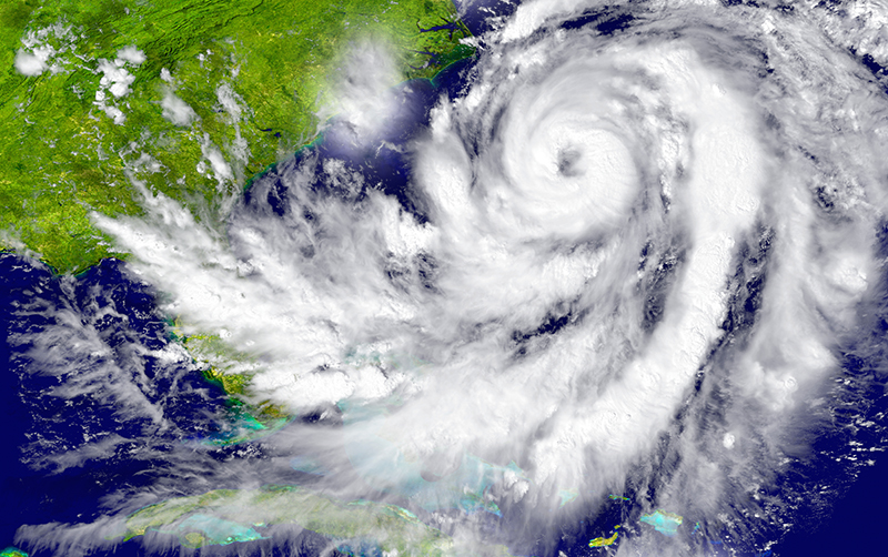
SEATTLE, WA – A wet, cloudy week in Puget Sound will begin Monday with a hellacious storm that will bring high winds and lots of rain to the region. The Washington coast and areas north of Whidbey Island are under a high wind warning until Monday night, and the Nooksack, Samish, and Stillaguamish rivers may reach flood stage.
Luckily, King County will likely miss the worst of Monday’s storm. But we’re still in for a very wet and blustery week. In fact, each day after Monday is pretty much the same: rain with high temperatures around 50.
Here’s the forecast for the Seattle-Bellevue area this week, according to the NWS:
Monday: Rain. High near 55. Light and variable wind becoming south 8 to 13 mph in the morning. Winds could gust as high as 20 mph. Chance of precipitation is 90%. New precipitation amounts between a tenth and quarter of an inch possible.
Monday Night: Rain. Low around 50. South wind 15 to 17 mph, with gusts as high as 24 mph. Chance of precipitation is 100%. New precipitation amounts between a half and three quarters of an inch possible.
Tuesday: Rain. High near 54. South southwest wind 15 to 17 mph, with gusts as high as 22 mph. Chance of precipitation is 100%. New precipitation amounts between a quarter and half of an inch possible.
Tuesday Night: Rain. Low around 46. Chance of precipitation is 80%. New precipitation amounts of less than a tenth of an inch possible.
Wednesday: Rain likely. Partly sunny, with a high near 51. Chance of precipitation is 60%.
Wednesday Night: A chance of rain. Cloudy, with a low around 41.
Thursday: Rain likely. Cloudy, with a high near 48.
Thursday Night: Rain likely. Mostly cloudy, with a low around 40.
Friday: Rain likely. Partly sunny, with a high near 47.
Friday Night: Rain likely. Cloudy, with a low around 39.